GIS key to smarter, transparent rural development: HIRD Director Dr Chauhan
Geographic Information System (GIS) can make rural development planning more effective, transparent and outcome-oriented by enabling scientific assessment of village needs and resources, said Haryana Institute of Rural Development Director Dr Virender Singh Chauhan.
 Girish Saini
Oct 1, 2026 10:02
0
Girish Saini
Oct 1, 2026 10:02
0
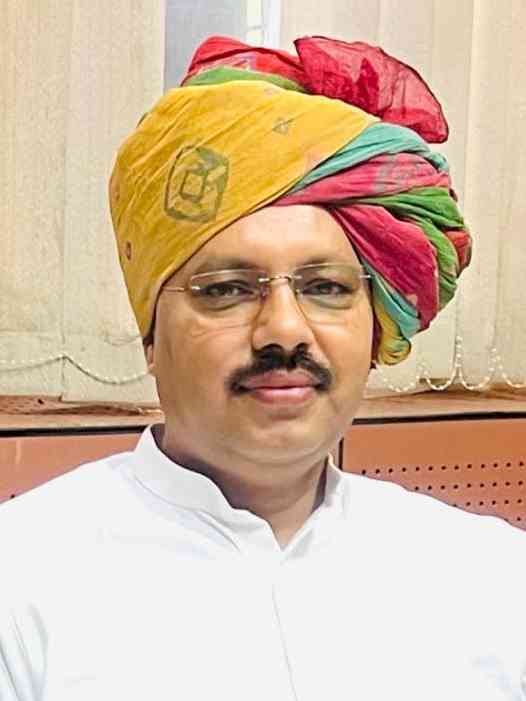
Nilokheri, October 1, 2026: Geographic Information System (GIS) can make rural development planning more effective, transparent and outcome-oriented by enabling scientific assessment of village needs and resources, said Haryana Institute of Rural Development Director Dr Virender Singh Chauhan.
Addressing participants online during a two-day training programme on “Role of GIS in Rural Development and Developed Gram Panchayat Planning”, Chauhan said modern technology must be integrated with traditional approaches to accelerate village development.
He said GIS can help scientifically map land, water resources, roads, drains and other basic infrastructure, enabling panchayats to identify priorities and plan development works based on data. Proper analysis and use of Panchayat-level data can also improve implementation and monitoring of schemes, he added.
Dr Chauhan urged participants to apply the technical knowledge gained during the training in their respective areas and stressed that technology coupled with community participation can give a new direction to rural development.
Programme coordinator Kamaldeep Sangwan said the training covered GIS applications, mapping techniques and other technical aspects relevant to rural development and developed gram panchayat planning.
Officials and trainees, including Abdul Wahid, Harender, Sunil, Rahul and Deepak, attended the programme.